 |
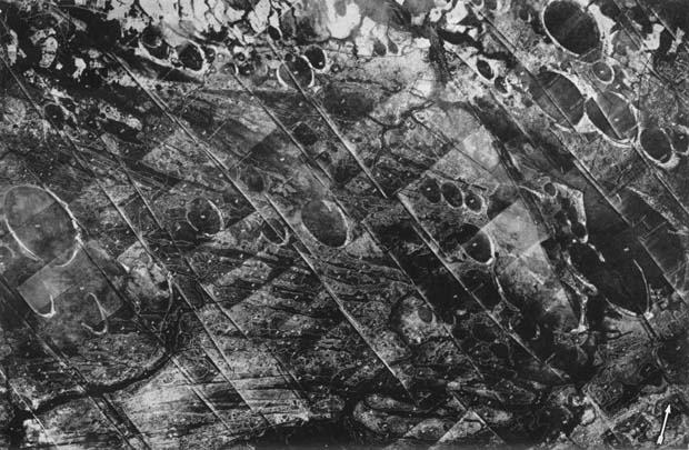
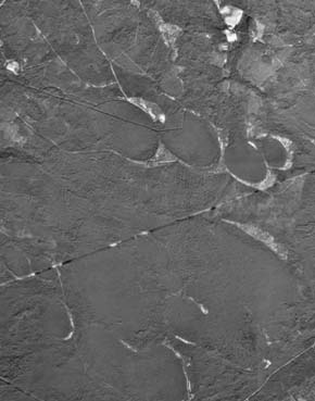
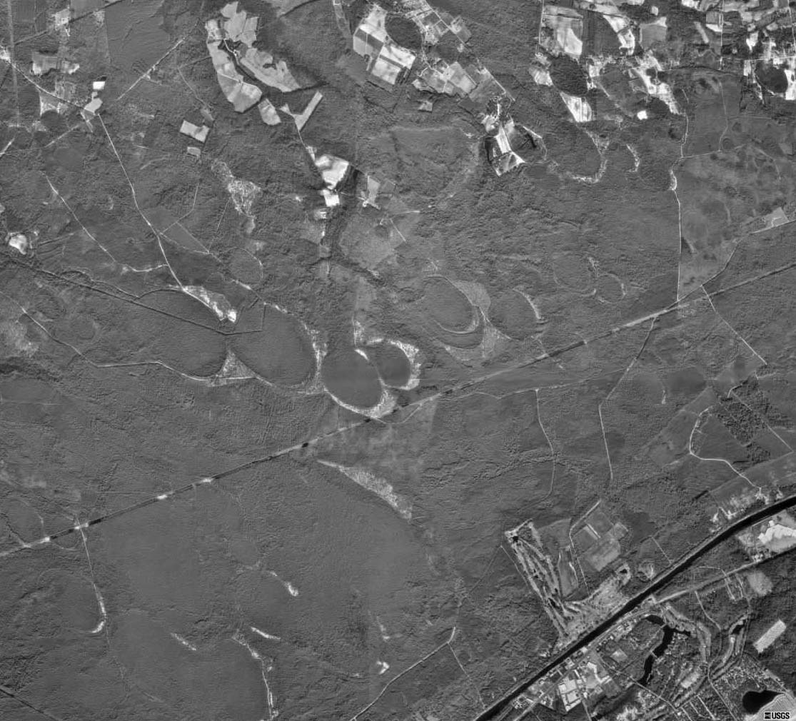
| In 1930 an aerial survey covering around five hundred square miles of coastal plain near Myrtle Beach in Horry County, South Carolina, was undertaken by Fairchild Aerial Surveys for the Ocean Forest Company. The resultant mosaic of photographs revealed some quite unusual features--the area looked as if some outraged giant had blasted it with a colossal shotgun. For scale, the largest well formed C-bay to the far left (Cotton Patch Bay) is a bit over a mile long. The arrow on this mosaic points to the North. Click for a larger image (~170k). |
