 |
A Bob’s view on Carolina Bay formation...
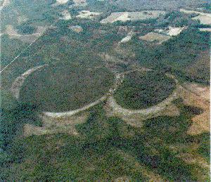
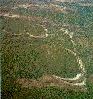
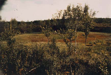
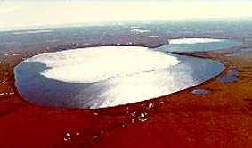
In that there has been an increasing interest in the Carolina Bays as possible impact features I felt that the reader might like to know of my own opinion on how these features came to be. Simply put, I believe that these near flat, shallow, structures were formed by terminal flare induced steam explosions of wet exposed ground. The wet spots could have been beaver ponds, springs, marshes, wet weather ponds, slow flowing creeks, and so on. The principal requirement here is that the water on the ground be exposed sufficiently to the sky so as to receive enough radiant energy from the incoming bolide to produce a violent phase change or steam explosion. A geologist might think of these features as "top induced maars" as the structures of Carolina Bays have similarities to conventional maars, which are produced by Earth mantle heat induced steam explosions. |
 |
It is noteworthy that Prouty thought that steam
explosion could be a factor in Carolina Bay formation,
however conventional wisdom of the time insisted on a
projectile of some fashion striking the surface and this
is where Prouty expected to see energy liberated which
could produce a steam explosion. In my scenario the intense
radiation (much of it in the infrared) followed by the
over-pressure pulse from the blast wave suffices to give
the Bays their unusually regular shape. An interesting thought here is that research on conventional or "bottom induced maars," which occur within a similar sandy substrate, might provide a benchmark of sorts for evaluating the likelihood of the Bays being formed this way. The key, I think, is getting researchers to look at the whole affected coastal area as potentially influenced by impact. In other words it is also important to look and take samples outside of the Bays. |

